|
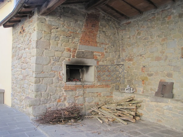
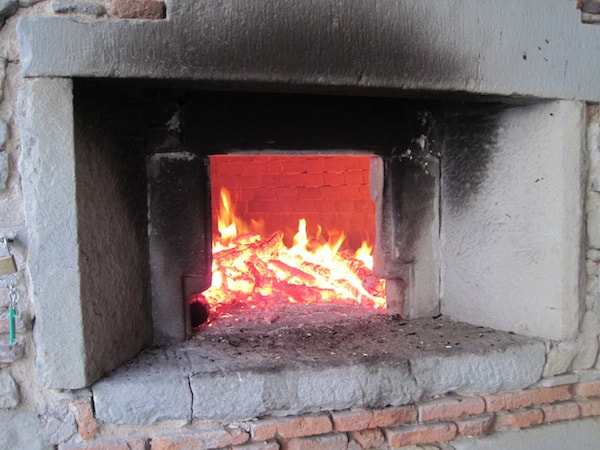
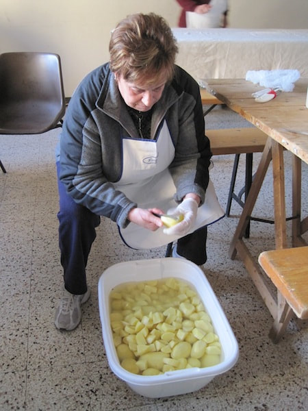
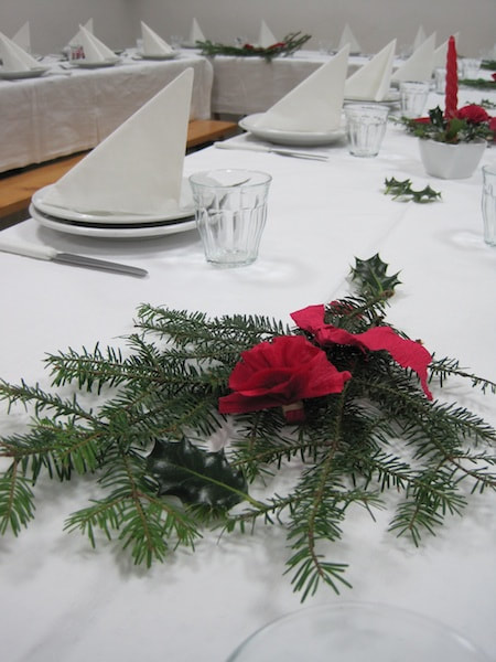
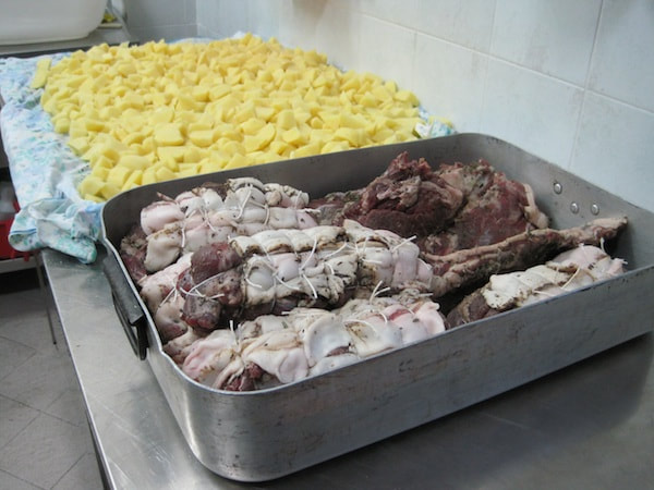
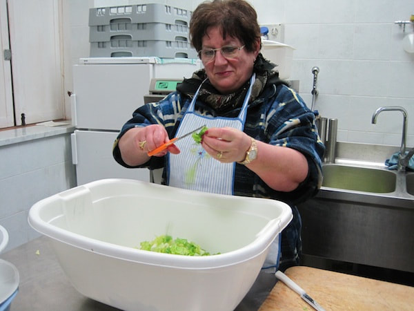
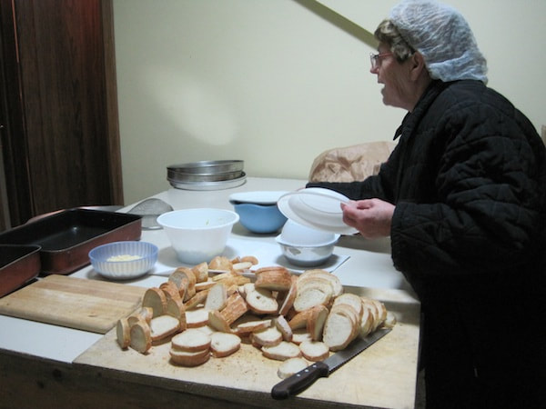
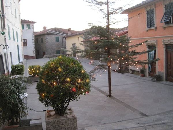
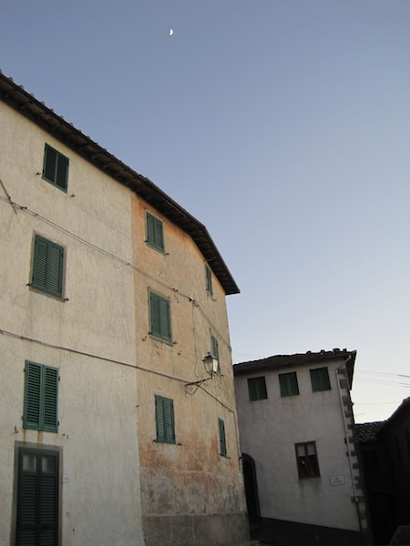
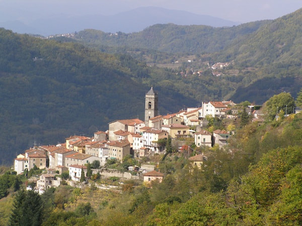
A village feast is not only a time for the inhabitants to socialise, but also to work together. When I go up to the shop this morning, Anna Rosa, Dalida and Eugenia are already upstairs in Dalida’s kitchen baking a cake for our New Year’s Eve dinner. I ask when I should come to help. This year almost everything will be cooked in the wood-fired oven in the piazza, so there isn’t much to do; just peeling the potatoes and laying the table. At 3 pm I head up to the old school, now the community hall. On the way I stop at the oven. The men have brought the bundles of wood: thin branches for lighting the fire or getting it going quickly if it starts to die down and thicker logs to burn longer and get the oven up to temperature. In the school I join Assunta, Luciana and Penny around the sack of potatoes and a big water-filled basin into which we drop the peeled potatoes. Although I cooked every other Sunday in a Good Food Guide restaurant in England, here I do as I’m told, even if it seems irrational. For example, the peeled potatoes have to be cut into chunks to be roasted. I would get another basin of water, take a whole potato from one basin, cut it up and drop the pieces into the other basin. Not in Casabasciana. There’s only one basin. You take a whole potato, cut it up and drop the pieces back into the same basin. At first it’s easy to find whole potatoes, but soon, everyone is fishing around among the bits, trying to find whole potatoes. Have we finished? No, here’s another whole one. I guess it takes longer this way and we have more time to gossip. The men have already set up the trestle tables and we spread out white tablecloths and lay the table. Fifty-one places. A little greenery and some red ribbon creates a festive mood. In the kitchen the potatoes are spread out to dry and the wild boar, larded earlier by Renato and Michelangelo, our two butchers, is waiting to go into the oven. Angela is cutting up some radicchio for salad and Ebe slices bread for crostini. With nothing more to do I head home (only 2 minutes’ walk from the school). It’s dusk, the Christmas lights are on in the piazza and a quarter moon smiles down from the sky.
0 Comments
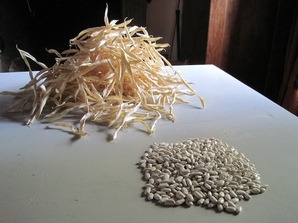
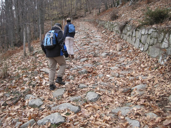
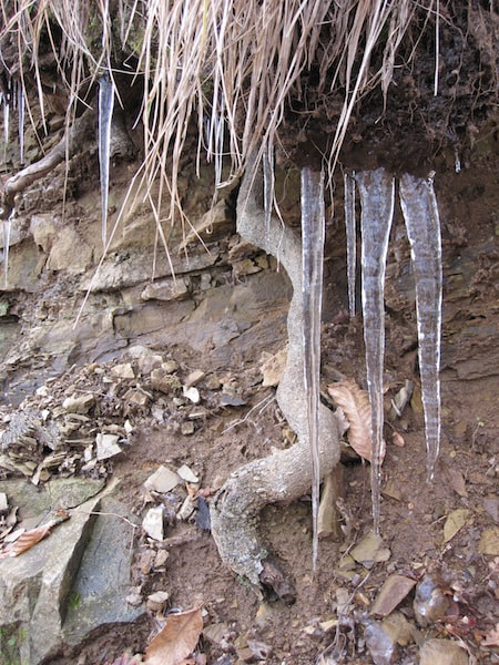
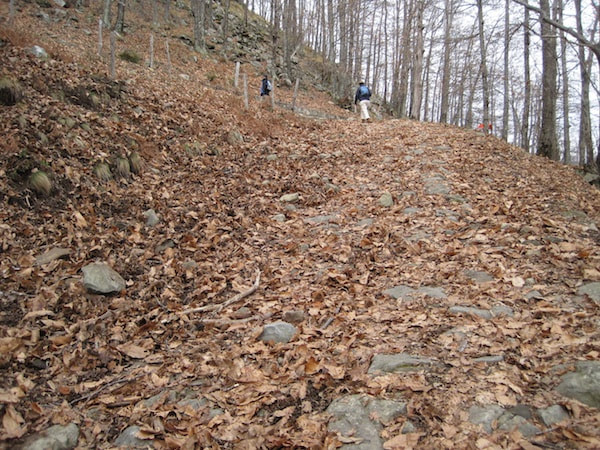
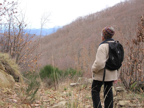
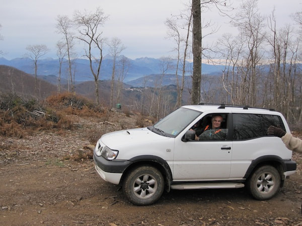
The story so far: The Fearsome Three have braved wild boar hunters, a mountain stream and brambles in their quest for Monte Battifolle. On the verge of arrival they are faced with four unmarked roads. Which is the way to the mountain top? Only two roads lead uphill. Do I remember bearing right when I came with the group from Crasciana? I’m not sure, and there are markers, old and new, in both directions. We continue straight ahead. The road crosses over the top of the ridge giving us a view down to the Valdinievole. Looking south we can see right out onto the coastal plain where the old road from Lucca runs east to Florence. Across the valley are two tidy-looking villages, Stiappa and Pontito, at the head of the Pescia River which flows south to the city of Pescia at the mouth of the valley. It seems improbable that it only takes about half hour longer on foot than by car to reach the top of this valley, since by car one has to drive by a very circuitous route. Admittedly, the route is more direct and the time less with a 4×4 vehicle, a better approximation to a mule. The Valdinievole, also known as the Little Switzerland of Pescia, has two Slow Food presidium products: in the terraced fields of the village of Sorana, a very tender and flavourful variety of the cannellini bean, and an artisanal pecorino cheese. Soon the rutted dirt road turns into a broad cobbled ramp flanked by a well-built stone wall. After rounding several hairpin bends and climbing a barbed-wire fence, we are at the pinnacle of Monte Battifolle. Battifolle means a temporary fortification erected in war time to keep watch for enemies or to hold back attackers. It had the form of a small tower built of wood, stone and earth. The ruins of the one we’re standing on is surrounded by a moat. If the slopes were clear of trees, as they certainly were in the past when flocks of goats and sheep maintained the vegetation as alpine pasture, the Republic of Lucca could have seen the armies of the Florentine Republic long before they arrived. The old-timers in Casabasciana remember that during the war the Germans constructed a funicular to transport troops and supplies up to Monte Battifolle. We settle ourselves on some tumbled down rocks and tuck into our well-earned pannini. If only we’d brought the gin and tonic, the ice is already laid on. We reflect that walking in these mountains isn’t just good exercise, it’s a history and geography lesson too. The past is so close you can literally touch it.
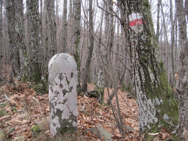
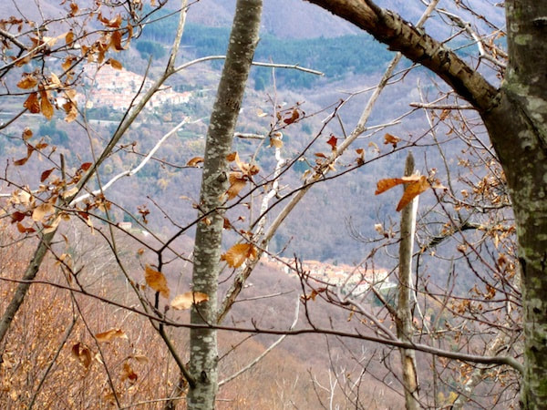
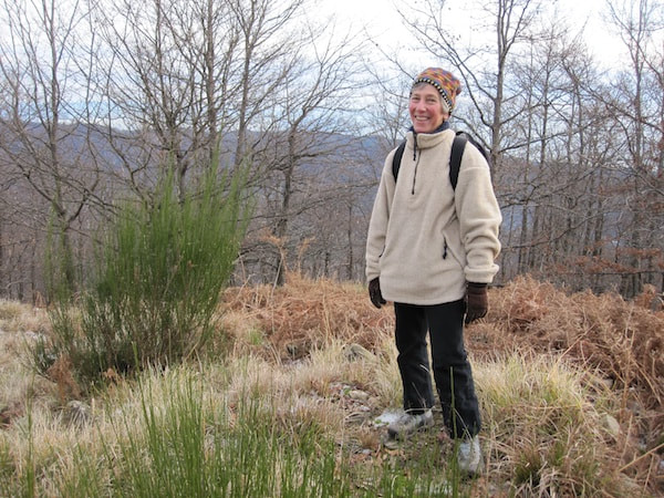
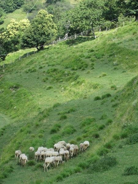
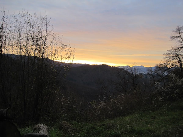
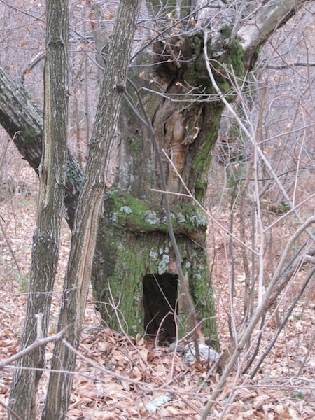
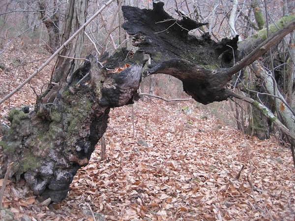
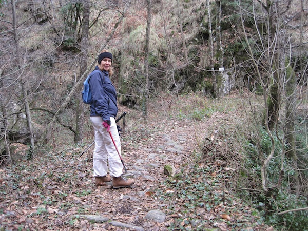
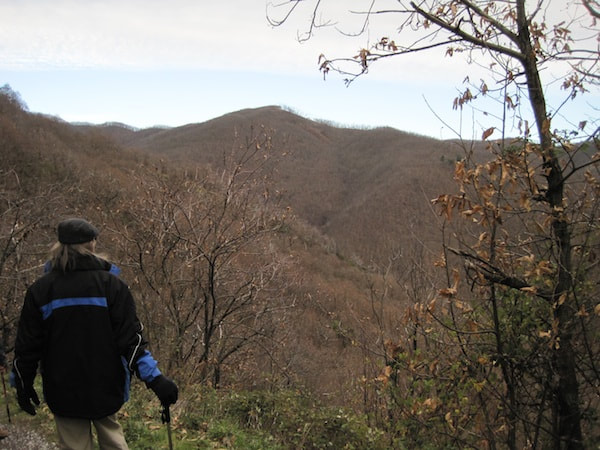
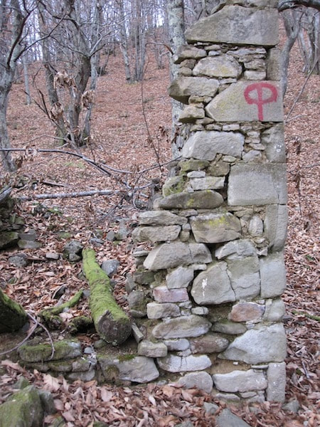
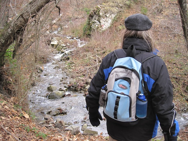
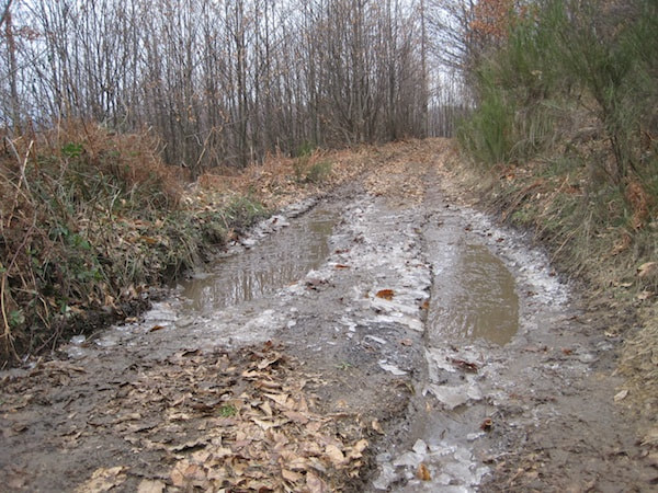
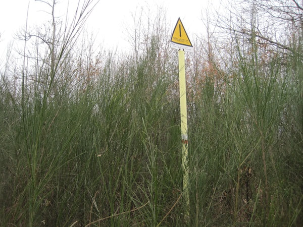
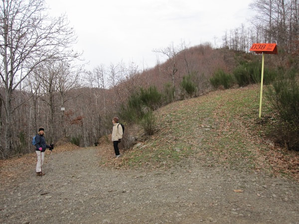
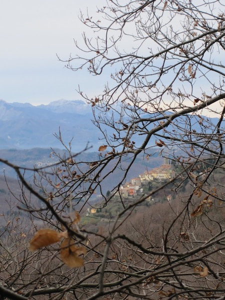
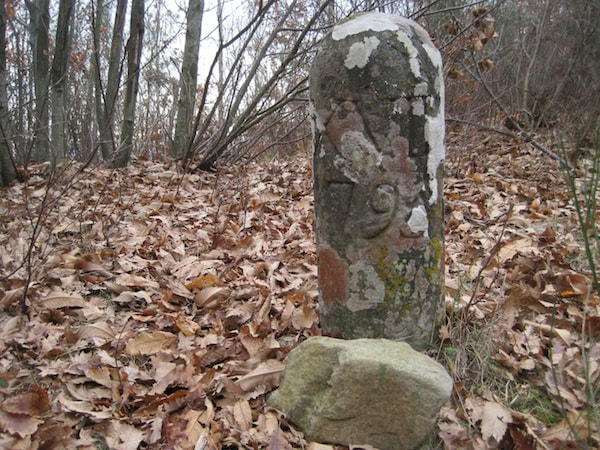
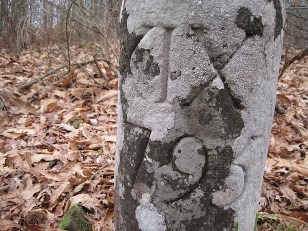
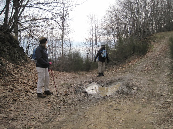
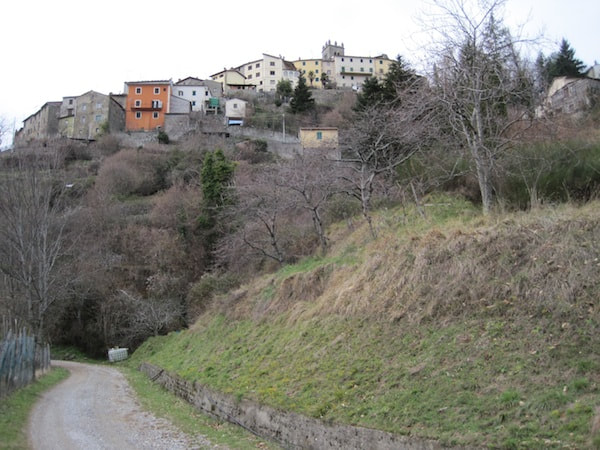
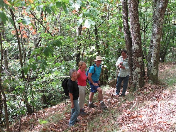
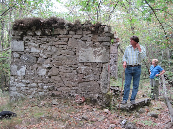
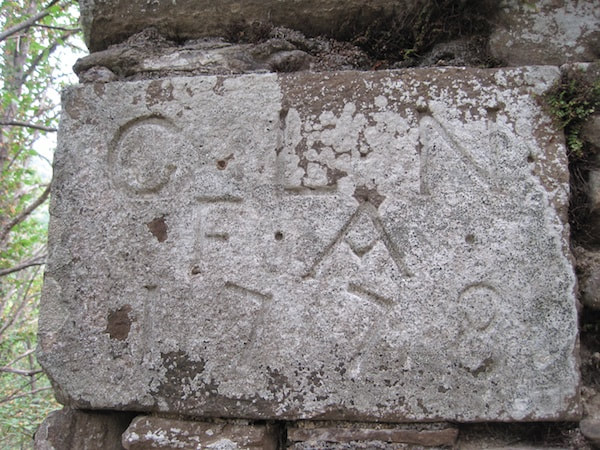
Feeling as if we’ve mastered the lay of the land, we explore some side tracks on the way home and arrive as the sun is setting. Last episode: On 3 September a group of friends set off from Crasciana along a woodland path, but hunger forced us to turn back before reaching the end. At the end of December, we resume our expedition. Last Sunday some of the same friends and I arm ourselves with pack lunches and set off early to the same lay-by beneath Crasciana. This time the trees are bare and the undergrowth has died down. We see all sorts of things we hadn’t noticed before. At the Rialto bridge, the ‘car park’ is now occupied by several 4x4s, but the hunters and dogs are invisible. I hope they’ll be successful, since the wild boar population now exceeds the number of humans. Our hunting squadra has already killed 151 animals since the start of the season on 1 November, but they are still foraging for food on the cobbled road that leads from Casabasciana to the old pieve (parish church) below the village. They dislodge the cobbles with their tusks, and the manpower and know-how to repair the damage have vanished. It was the responsibility of the families through whose property the road passed, to keep the road in good condition, but that was in the days when families had many children and before the exodus after the last war. As we ascend on the far side of the bridge, we hear goat bells overhead and shots in the distance, and soon a goatherd and his flock appear coming toward us. ‘Always exploit a local’ is my rule of thumb, but don’t get me wrong; I mean the Italian valorizzare, to add value or utilise something to best advantage. The most useful question on walks is, ‘Where does this road go?’ Locals are pleased to be asked, since it allows them to show off their knowledge of the territory. The goatherd confirms my suspicion that it’s one of the many routes to Monte Battifolle, the highest peak along the ridge visible from Casabasciana. He cautions us that it takes two hours and we might be shot at, but we bravely continue on our way. A little farther along we come to the 1778 ruin, which Michelangelo (Eugenia’s brother) identified from my photos as a wayside chapel called Aiole. We continue gently climbing, following way marks for about an hour. As we round the nose of a spur, we hear shots on the far side of the valley, and we feel safely out of range. Our feet rustle through a carpet of dried chestnut leaves, through which at places we discern the remains of a wide, cobbled mulattiera (to translate this word as ‘mule track’, as my dictionary does, is to demean the super highways of another era). We dip down to a stream. Since the wild storm the week before, the stream is in full spate and the stepping stones nearly submerged. We pause a minute, but won’t give up now and make it across dry-footed. After a very steep climb, we come again onto a wide mulattiera, which makes us wonder whether at some point we took a wrong turning onto a minor side road. Perhaps a landslide had swept away a portion of the original road, and it was never repaired, like the modern road between Borgo a Mozzano and Anchiano, where a landslide of two winters ago is still blocking half the road. We stop to rest and contemplate the view over serried ranks of mountains. Another steep climb and we’re at a T-junction at a dirt road running along the top of the ridge. Cars have passed this morning breaking the ice on the puddles in the ruts. I think Monte Battifolle is to our right, but I’m not sure. Five years ago I walked there by a different route with people from Crasciana, so I’ll know it when we get there, but at 1109 m it’s only 200 m higher than Sargentino, the peak to its left along the ridge, and it’s hard to tell which is which when you’re up close. We see way markings in both directions. Until now they’ve been on rocks or trees, but here other objects have been utilised. I recognise the poles with numbered orange hats as the boundary between Lucca and Pistoia provinces. I have the 1:25,000 map with me, but it’s so inaccurate that I’m convinced someone in an office drew in the trails on a whim. The GPS navigator on my mobile phone thinks for a long time and then gives up. We decide my hunch is as good as anything and turn right. The traces of a path forking left into the brush attract us onto slightly higher ground and, as we push our way through the scrub of broom and saplings. Through the veil of bare branches, we see Casabasciana. Suddenly we stumble upon an upright man-made stone. Despite the lichen, the engraved characters are clear and sharp: XVIII above the date 1795. A little farther along we find XIX and XX, but they’re not equidistant. What could they be? What was happening in 1795? Absolutely nothing, according to my later searches on the internet. Renato, in the shop at Casabasciana, suspects they are the old equivalents of the present-day orange-hatted poles. A mystery to pursue. We’re beginning to doubt my instincts about the direction of Battifolle. It’s nearly 1.00 pm and time for our picnic lunch. I try to hail a couple of motor bikers on the dirt road, but they don’t hear or see me above them. We drop down to the road and are just about to turn back when a car approaches from a side road. Time to ask a local again. We’re nearly there, he says. Just 15 minutes more. OK, let’s go. Here the landscape is more open, and our informant drives on down to a small hunting hide. Does he shoot little birds from it or is it a refuge from which to contemplate the world from a distance?
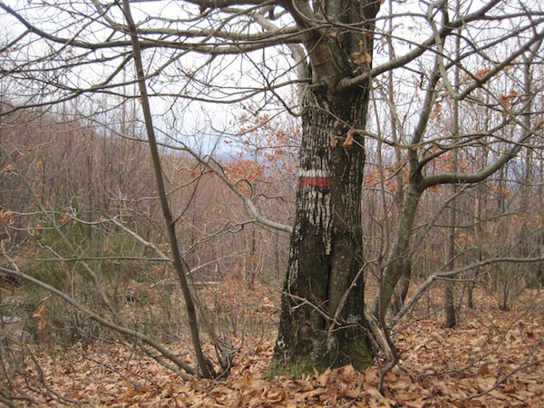
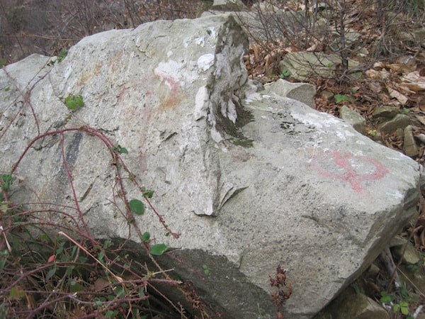
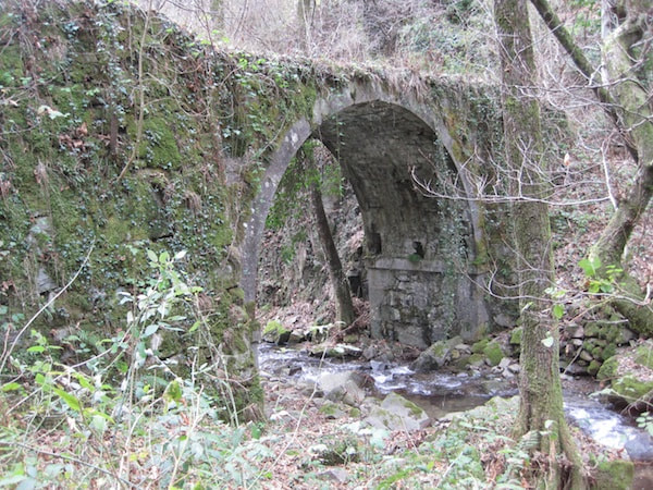
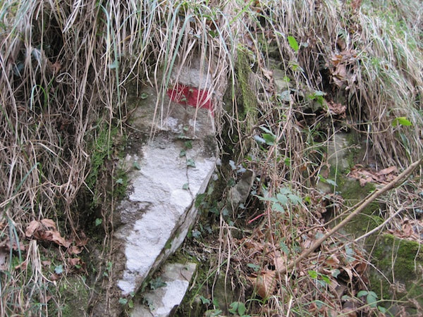
We set off with renewed confidence, but just when we think we’re home and dry, we come to a five-way intersection with no markings whatsoever. Two roads diverged in a yellow wood, And sorry I could not travel both And be one traveler… (Robert Frost , The Road Not Taken, 1920) My dilemma every time I take a walk from my village Casabasciana, but unlike Frost’s traveller through life, I can return another day to take the other road. Usually I’m a lone wayfarer, imagining myself as a present-day shepherd or woodsman, a pre-war craftsman from my village of Casabasciana carrying my plaster of Paris figurines to market on my sturdy mule or, stretching my imagination to the limits, a mediaeval pilgrim on my way to Rome (in the 9th century Casabasciana had a hospice for pilgrims). Sometimes though, friends ask to accompany me, and so it was on a warm, sunny morning at the beginning of September. From my huge mental sack of unexplored roads and trails, I plucked the dirt road that skirts the lower edge of Crasciana, the next village up the tarmac road from Casabasciana and at the end of the line as far as paved roads leading up our side of the mountain go. Having parked at the side of the dirt road, sharing a lay-by with a heap of building rubble just before the road dips steeply downhill, we set off on foot down the broad road cut into the side of a steep slope with Crasciana behind us on the left and a gently murmuring stream way below us on the right, hidden from sight by the leafy trees and undergrowth. This road has to be modern, constructed maybe in the 1970s to allow access to hunters arriving in 4x4s with their hounds in cages to shoot the recently introduced wild boar. We pass two tracks off to the right, which I pop into the mental sack. After about 20 minutes we’re nearly down to the stream bed. The road widens into a sort of car park, then suddenly hangs a U-turn over a broad ancient stone bridge and narrows to a single-file track that rises steeply up the other side. I learn later from Michelangelo in our village shop that the name of the bridge is Rialto, which means ‘raised place’, appropriate to the Rialto bridge in Venice, but a total mystery why this perfectly level bridge sunk in the valley below Crasciana should bear the name. We soon start to see markers painted on trees and stones, indicating a maintained path, perhaps by CAI (Club Alpino Italiano). There are many on the other side of the Lima Valley, but part of the fun on our side is trying to follow unmarked trails. One mark is on the ruins of a what was very small building, with a corner stone engraved with the letters ‘C. L. N. F. A.’ and the date 1778. A puzzle to investigate back in the village. We had set off rather late, and after an hour of uphill progress broken by stops to survey the new terrain, we realise we need lunch more than we need to know where the path leads. We vow to return soon better prepared to finish the job.
I’ll tell you where the path leads and about some strange objects along the way in the sequel on 26 December. |
Email Subscription
Click to subscribe to this blog and receive notifications of new posts by email. AuthorErica Jarman Categories
All
Archives
October 2023
|
|
copyright 2017 sapori-e-saperi.com | all rights reserved
|
Website by Reata Strickland Design

 RSS Feed


