|
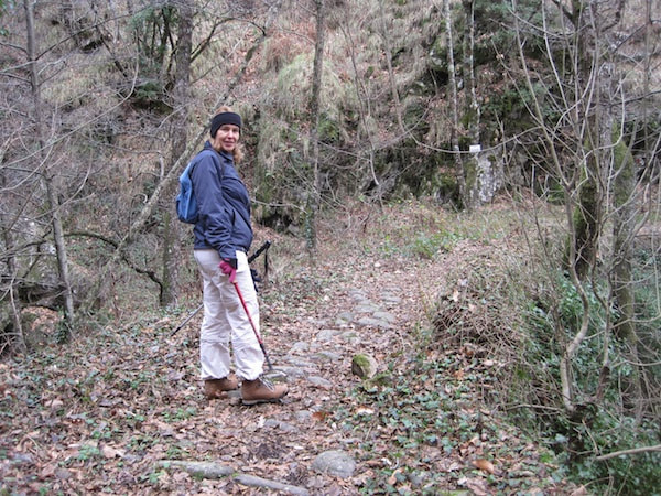
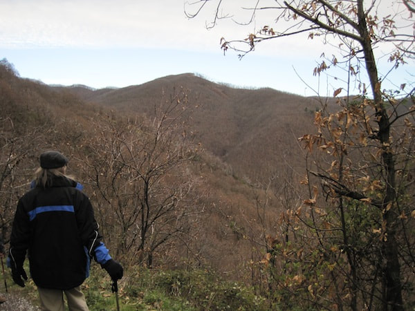
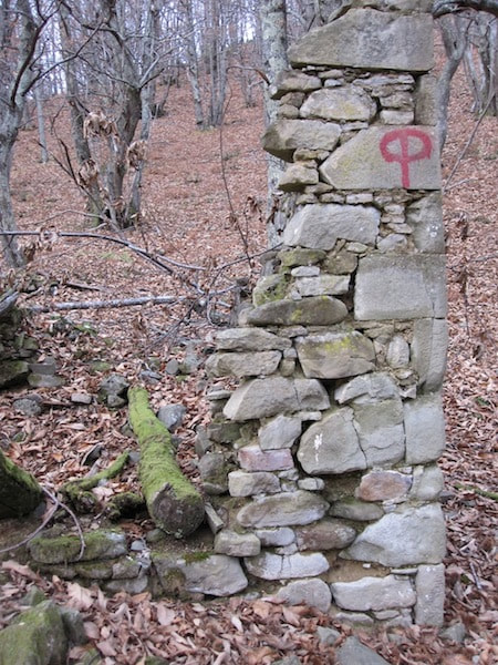
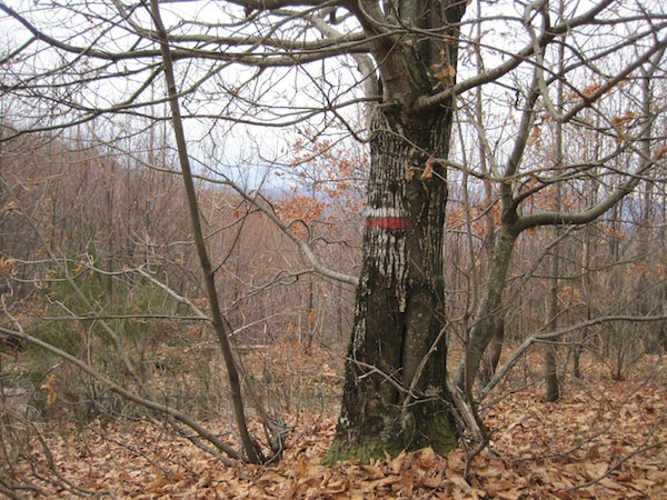
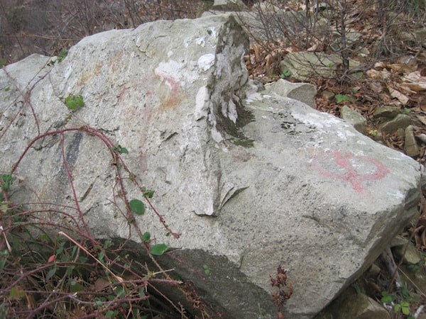
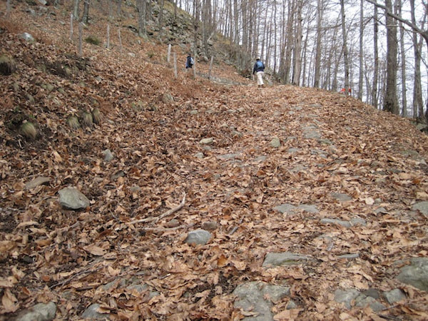
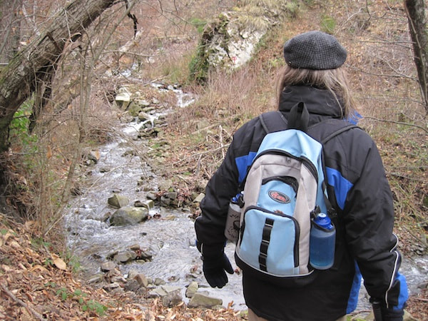
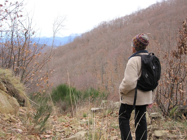
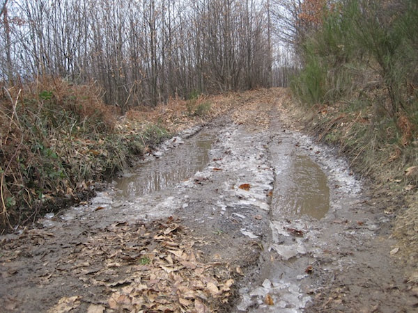
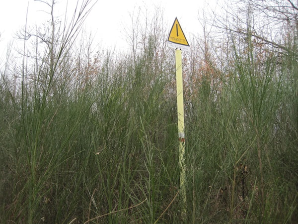
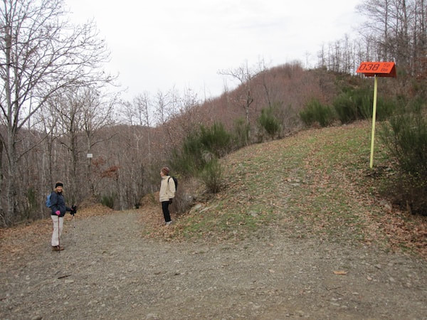
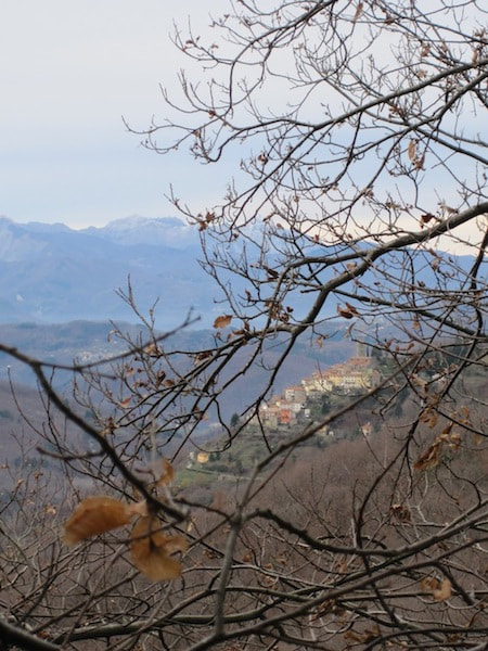
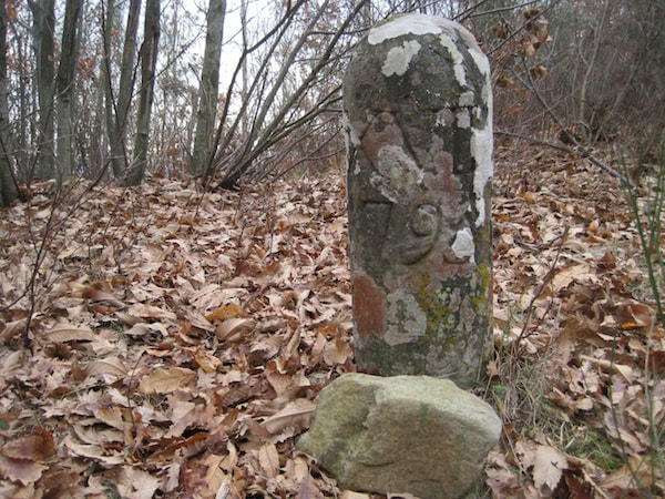
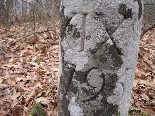
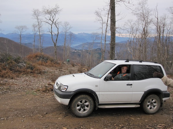
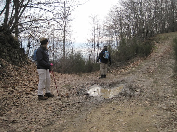
Last episode: On 3 September a group of friends set off from Crasciana along a woodland path, but hunger forced us to turn back before reaching the end. At the end of December, we resume our expedition. Last Sunday some of the same friends and I arm ourselves with pack lunches and set off early to the same lay-by beneath Crasciana. This time the trees are bare and the undergrowth has died down. We see all sorts of things we hadn’t noticed before. At the Rialto bridge, the ‘car park’ is now occupied by several 4x4s, but the hunters and dogs are invisible. I hope they’ll be successful, since the wild boar population now exceeds the number of humans. Our hunting squadra has already killed 151 animals since the start of the season on 1 November, but they are still foraging for food on the cobbled road that leads from Casabasciana to the old pieve (parish church) below the village. They dislodge the cobbles with their tusks, and the manpower and know-how to repair the damage have vanished. It was the responsibility of the families through whose property the road passed, to keep the road in good condition, but that was in the days when families had many children and before the exodus after the last war. As we ascend on the far side of the bridge, we hear goat bells overhead and shots in the distance, and soon a goatherd and his flock appear coming toward us. ‘Always exploit a local’ is my rule of thumb, but don’t get me wrong; I mean the Italian valorizzare, to add value or utilise something to best advantage. The most useful question on walks is, ‘Where does this road go?’ Locals are pleased to be asked, since it allows them to show off their knowledge of the territory. The goatherd confirms my suspicion that it’s one of the many routes to Monte Battifolle, the highest peak along the ridge visible from Casabasciana. He cautions us that it takes two hours and we might be shot at, but we bravely continue on our way. A little farther along we come to the 1778 ruin, which Michelangelo (Eugenia’s brother) identified from my photos as a wayside chapel called Aiole. We continue gently climbing, following way marks for about an hour. As we round the nose of a spur, we hear shots on the far side of the valley, and we feel safely out of range. Our feet rustle through a carpet of dried chestnut leaves, through which at places we discern the remains of a wide, cobbled mulattiera (to translate this word as ‘mule track’, as my dictionary does, is to demean the super highways of another era). We dip down to a stream. Since the wild storm the week before, the stream is in full spate and the stepping stones nearly submerged. We pause a minute, but won’t give up now and make it across dry-footed. After a very steep climb, we come again onto a wide mulattiera, which makes us wonder whether at some point we took a wrong turning onto a minor side road. Perhaps a landslide had swept away a portion of the original road, and it was never repaired, like the modern road between Borgo a Mozzano and Anchiano, where a landslide of two winters ago is still blocking half the road. We stop to rest and contemplate the view over serried ranks of mountains. Another steep climb and we’re at a T-junction at a dirt road running along the top of the ridge. Cars have passed this morning breaking the ice on the puddles in the ruts. I think Monte Battifolle is to our right, but I’m not sure. Five years ago I walked there by a different route with people from Crasciana, so I’ll know it when we get there, but at 1109 m it’s only 200 m higher than Sargentino, the peak to its left along the ridge, and it’s hard to tell which is which when you’re up close. We see way markings in both directions. Until now they’ve been on rocks or trees, but here other objects have been utilised. I recognise the poles with numbered orange hats as the boundary between Lucca and Pistoia provinces. I have the 1:25,000 map with me, but it’s so inaccurate that I’m convinced someone in an office drew in the trails on a whim. The GPS navigator on my mobile phone thinks for a long time and then gives up. We decide my hunch is as good as anything and turn right. The traces of a path forking left into the brush attract us onto slightly higher ground and, as we push our way through the scrub of broom and saplings. Through the veil of bare branches, we see Casabasciana. Suddenly we stumble upon an upright man-made stone. Despite the lichen, the engraved characters are clear and sharp: XVIII above the date 1795. A little farther along we find XIX and XX, but they’re not equidistant. What could they be? What was happening in 1795? Absolutely nothing, according to my later searches on the internet. Renato, in the shop at Casabasciana, suspects they are the old equivalents of the present-day orange-hatted poles. A mystery to pursue. We’re beginning to doubt my instincts about the direction of Battifolle. It’s nearly 1.00 pm and time for our picnic lunch. I try to hail a couple of motor bikers on the dirt road, but they don’t hear or see me above them. We drop down to the road and are just about to turn back when a car approaches from a side road. Time to ask a local again. We’re nearly there, he says. Just 15 minutes more. OK, let’s go. Here the landscape is more open, and our informant drives on down to a small hunting hide. Does he shoot little birds from it or is it a refuge from which to contemplate the world from a distance?
We set off with renewed confidence, but just when we think we’re home and dry, we come to a five-way intersection with no markings whatsoever.
0 Comments
Your comment will be posted after it is approved.
Leave a Reply. |
Email Subscription
Click to subscribe to this blog and receive notifications of new posts by email. AuthorErica Jarman Categories
All
Archives
October 2023
|
|
copyright 2017 sapori-e-saperi.com | all rights reserved
|
Website by Reata Strickland Design

 RSS Feed


